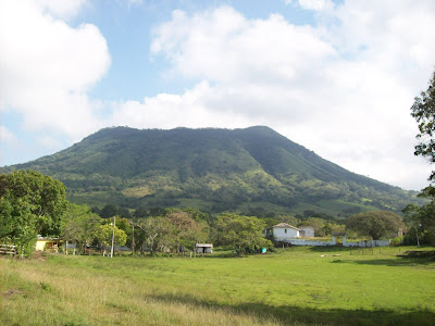
Abstrac Los Tuxtlas” biosphere reserve is characterized by its remarkable vegetal and animal diversity, another fact is that it represents the extreme boreal border of the neotropical rainforest in American continent. Both, basalt and basonites have been produced as a result of an intense volcanism in the geology of the area. Near of 300 volcanic cones with basaltic composition have been located; all of them present an elevation below 250 meters. However, it can be found a volcano with a higher elevation; this is San Martín volcano, whose height is about 1720 meters. For that reason, the potential of volcanic speleology in the zone is enormous. Venturing inside “Los Tuxtlas” looking for hollows or cavities that keep different volcanic shapes and amazing forms of life is one of the most positive activities for the enrichment of universal knowledge. Probably, there is only one limitation and it would be neotropical rainforest by itself. Introducción La Reserva de la Biosfera Los Tuxtlas...